
What Is a Thunderstorm? The Three Stages Every Pilot Must Respect
A thunderstorm is a localized storm produced by a cumulonimbus cloud that always carries lightning and thunder, and it forms when three ingredients come together: unstable air, a lifting force to start the air rising, and enough moisture to build the cloud. Strip any one of those away and you do not get a thunderstorm. That is the whole engine, and understanding it is how you stay out of the most dangerous weather a small airplane can meet.
Here is the part that surprises new students. New pilots tend to picture a thunderstorm as rain and noise. What it really is, is a violent, vertical air machine packing nearly every hazard the FAA warns you about into one cloud — hail, severe turbulence, lightning, icing, and the killer of low-altitude flying, wind shear. Respect the engine, and you will give these clouds the room they demand.
- Three ingredients, every time — unstable air, a lifting action, and high moisture content are required for a thunderstorm to form. No exceptions.
- Three stages, one life cycle — the cumulus, mature, and dissipating stages each behave differently, and the mature stage is the one that hurts you.
- The mature stage is the dangerous one — it begins the moment precipitation reaches the ground, and it carries the strongest updrafts, downdrafts, and wind shear.
- Hazards travel outside the cloud — hail can be thrown out the top, and damaging wind shear and microbursts can hit the ground miles from any visible rain.
- Avoidance is the only plan — the FAA guidance is to never fly through, under, or near a thunderstorm, and to give any severe or building storm at least 20 nautical miles. A wide circle, not a clever shortcut.
- A squall line is a wall — a line of storms can stretch for hundreds of miles with no usable gap, and it cannot be safely penetrated by light aircraft.
- Embedded storms hide — storms buried in widespread cloud can’t be seen and demand onboard radar or hard avoidance, not eyeballs.
WHAT’S IN THIS GUIDE
- 1What is a thunderstorm, exactly?
- 2What three ingredients does a thunderstorm need to form?
- 3What are the three stages of a thunderstorm?
- 4Why is the mature stage the most dangerous?
- 5What hazards does a thunderstorm actually throw at a pilot?
- 6What’s the difference between air mass, frontal, and squall line storms?
- 7A wall over Kachemak Bay — a lesson from the ramp
- 8How far should you stay away from a thunderstorm?
- 9PLT Study Guide
- 10Frequently Asked Questions
What is a thunderstorm, exactly?
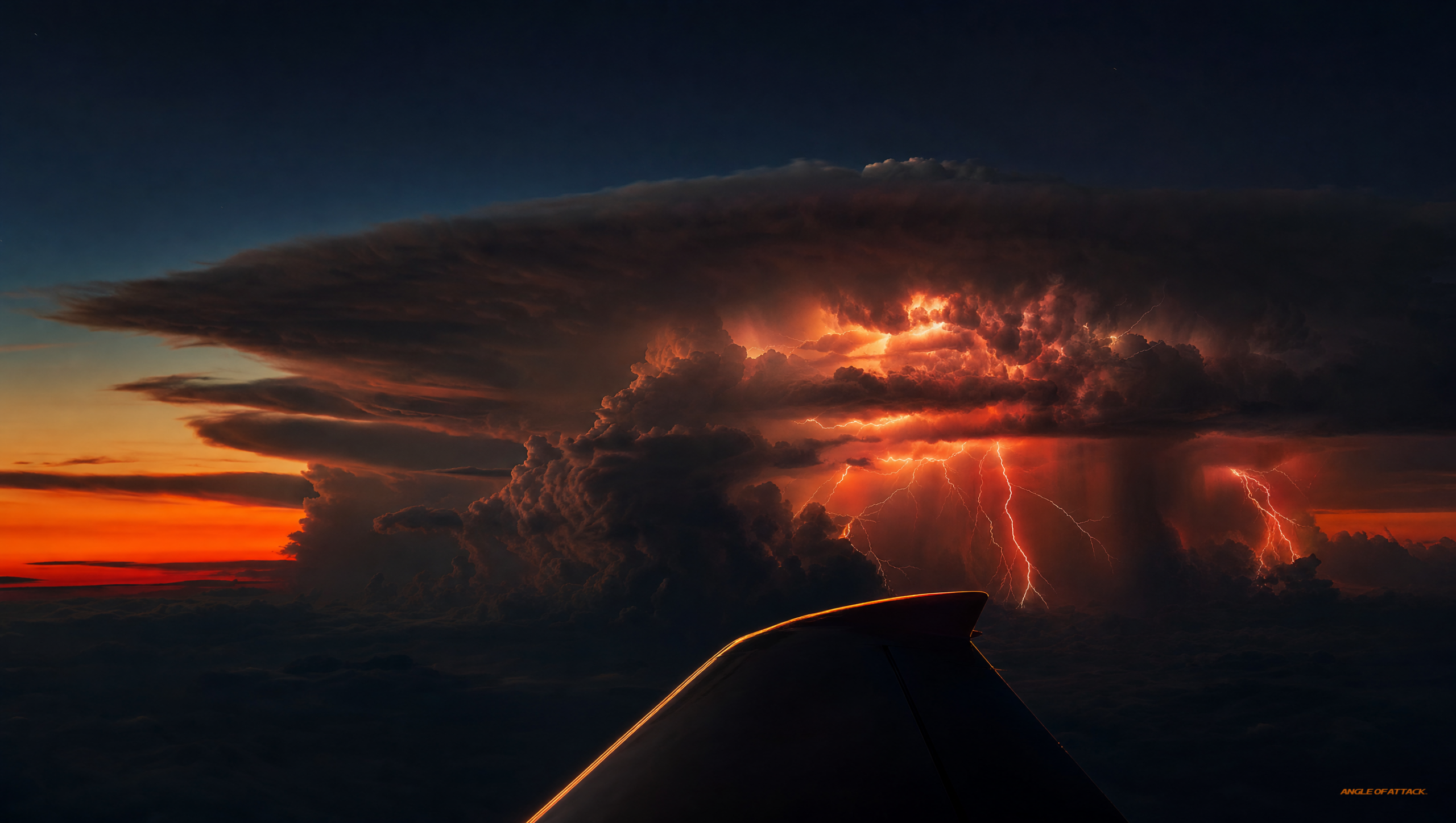
A thunderstorm is a storm produced by a cumulonimbus cloud — the tall, building cloud you’ve watched grow on a hot afternoon — and by definition it always contains lightning and thunder. If a cloud has lightning, it’s a thunderstorm. If it doesn’t, it isn’t. That single rule is the cleanest way for a student pilot to draw the line.
The cumulonimbus, or “CB,” is the only cloud that produces a thunderstorm. It’s a vertical-development cloud, which means it grows up instead of out. The Pilot’s Handbook of Aeronautical Knowledge (PHAK, FAA-H-8083-25C) describes the cumulonimbus as the cloud associated with the most violent weather a pilot can encounter, and that’s not marketing language — it’s a warning.
What makes a CB so dangerous is the engine inside it. Air is rising and falling at violent speeds in the same cloud at the same time. Those rising and sinking columns are the updrafts and downdrafts, and they are what tear at an airplane. Everything else — the hail, the lightning, the wind shear — rides on top of that vertical motion.
What three ingredients does a thunderstorm need to form?
Every thunderstorm needs three ingredients to form: unstable air, a lifting action to start the air moving upward, and a high moisture content to build and sustain the cloud. The FAA lists these as the required conditions, and the logic is simple — you need air that wants to keep rising, something to give it the first push, and the water to make a cloud out of it.
Unstable air is the foundation. The atmosphere is unstable when a parcel of air, once it starts rising, keeps rising on its own because it stays warmer than the air around it. Warm air rises, the moisture in it condenses, condensation releases heat, and that heat feeds even more lifting. It’s a self-reinforcing loop, and it’s why a CB can build to enormous heights in a short time.
The lifting action is the trigger. It can be daytime heating warming the surface (think a hot afternoon), a front shoving one air mass under another, terrain forcing air up a mountainside, or converging winds. Any of these gives the unstable, moist air its first shove upward.
Take moisture away and the cloud can’t build. Take the lift away and nothing gets started. Take the instability away and a rising parcel just sinks back down. All three, together, every time.
What are the three stages of a thunderstorm?
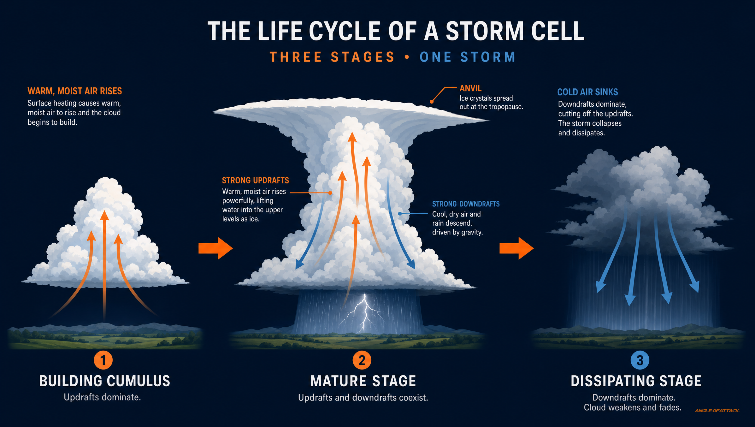
A thunderstorm moves through three stages during its life cycle: the cumulus stage, the mature stage, and the dissipating stage. The PHAK lays these out as the standard model, and each stage is defined by what the air inside the cloud is doing. The cell builds, peaks, and then dies, usually over the span of an hour or so.
Here’s how the three stages compare:
| Stage | What’s happening inside | Dominant air motion | Key signal |
|---|---|---|---|
| Cumulus | Cloud is building upward as warm air rises | Updrafts only | A growing, towering cumulus cloud |
| Mature | Storm at full strength; rain begins falling | Updrafts AND downdrafts together | Precipitation reaching the ground |
| Dissipating | Downdrafts spread and cut off the inflow | Downdrafts dominate | Rain tapering, anvil top spreading out |
In the cumulus stage, the cloud is all updraft. Warm, moist air is rising and the cloud is growing tall fast. There’s no rain reaching the ground yet — the updrafts are strong enough to hold the water droplets aloft. Don’t let the lack of rain fool you. A building cumulus is a storm loading up.
In the mature stage, the storm hits full strength. Precipitation finally falls through the cloud and reaches the ground, and that falling rain drags air down with it, creating powerful downdrafts. Now you have violent updrafts and violent downdrafts side by side. This is the dangerous stage, and it gets its own section below.
In the dissipating stage, downdrafts take over the whole cell. They cut off the warm inflow that fed the storm, the engine loses its fuel, and the cloud spreads out into the familiar anvil shape as it dies. A dissipating storm is weakening — but “weakening” is not “safe,” because lightning and gusty winds can linger.
Why is the mature stage the most dangerous?
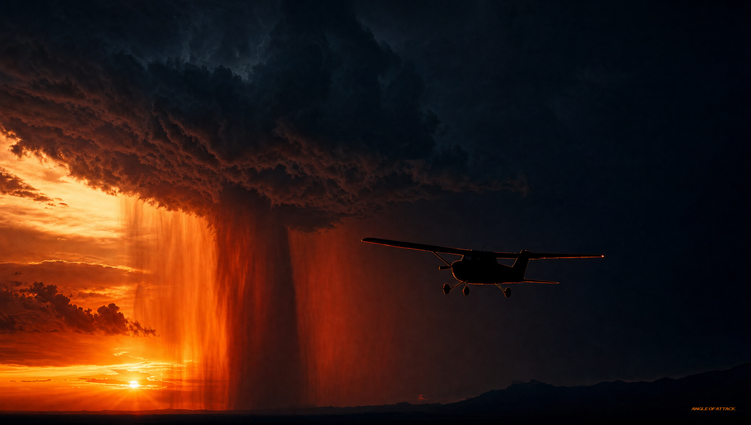
The mature stage is the most dangerous because it is the only stage where strong updrafts and strong downdrafts exist in the cloud at the same time. The boundary where a fast updraft slams against a fast downdraft creates severe, sudden wind shear — the kind that can flip a small airplane’s airspeed and altitude in seconds. That’s why the mature stage is the one that kills.
The mature stage begins the instant rain starts hitting the ground. That falling precipitation is your visual cue that the storm has loaded its full deck of hazards. The updrafts in a mature CB can be powerful enough to carry a light airplane far beyond its rated limits, and the downdrafts can drive it toward the surface faster than its engine can climb out.
Then there’s the gust front. As the downdraft hits the ground, it spreads outward in all directions like water poured on a table. The leading edge of that spreading air is the gust front, and it can race out ahead of the visible storm by many miles, bringing a sudden, sharp wind shift well before the rain arrives. A pilot on final approach near a mature storm can get hit by that gust front while the runway still looks perfectly clear.
This is the core of why “the storm looks far away” is a trap. The dangerous air is not confined to the gray part you can see.
What hazards does a thunderstorm actually throw at a pilot?
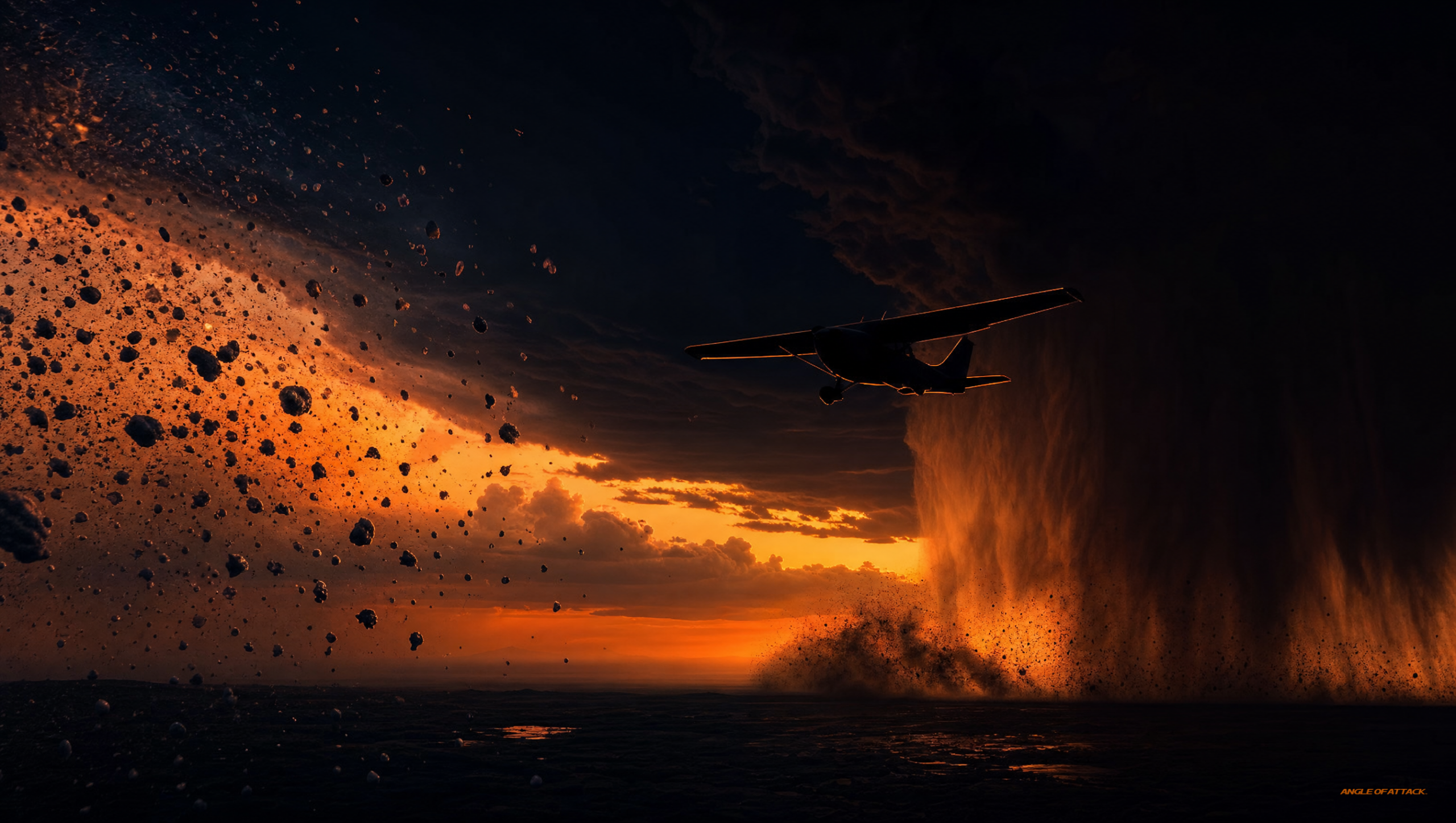 microburst driving air toward the ground" />
A thunderstorm packs nearly every weather hazard a pilot studies into one cloud: severe turbulence, wind shear and microbursts, hail, lightning, icing, low ceilings and reduced visibility, and even tornadoes in the worst cells. The FAA’s clear position is that no single thunderstorm hazard is the worst — they are all severe, and they all arrive together.
Severe turbulence and wind shear are the structural threats. The clashing updrafts and downdrafts can exceed the design load limits of a light aircraft. A microburst is a small, intense downdraft that hits the ground and spreads out violently; it produces some of the most dangerous low-level wind shear in aviation and has brought down aircraft on approach.
Hail is one of the sneakiest hazards. Updrafts carry water high enough to freeze, and the stone grows as it’s tossed up and down. Strong updrafts can throw hail right out the top of the storm, which means you can take hail damage in clear air several miles from the cloud you were so carefully avoiding.
Lightning is, by definition, present in every thunderstorm. It can damage the airframe, knock out electronics, and temporarily blind you at night. Icing lives in the upper, colder regions where supercooled water freezes onto the airframe. And the heavy rain at the storm’s core can drop ceilings and visibility to near zero in moments.
That’s the full menu — turbulence, shear, microbursts, hail, lightning, icing, low visibility. One cloud. This is exactly the kind of weather decision-making we drill into students inside the Private Pilot Ground School, because reading a building sky correctly is a day-one skill, not a checkride trick. You can start that weather training free inside the Total Student Pilot course.
What’s the difference between air mass, frontal, and squall line storms?
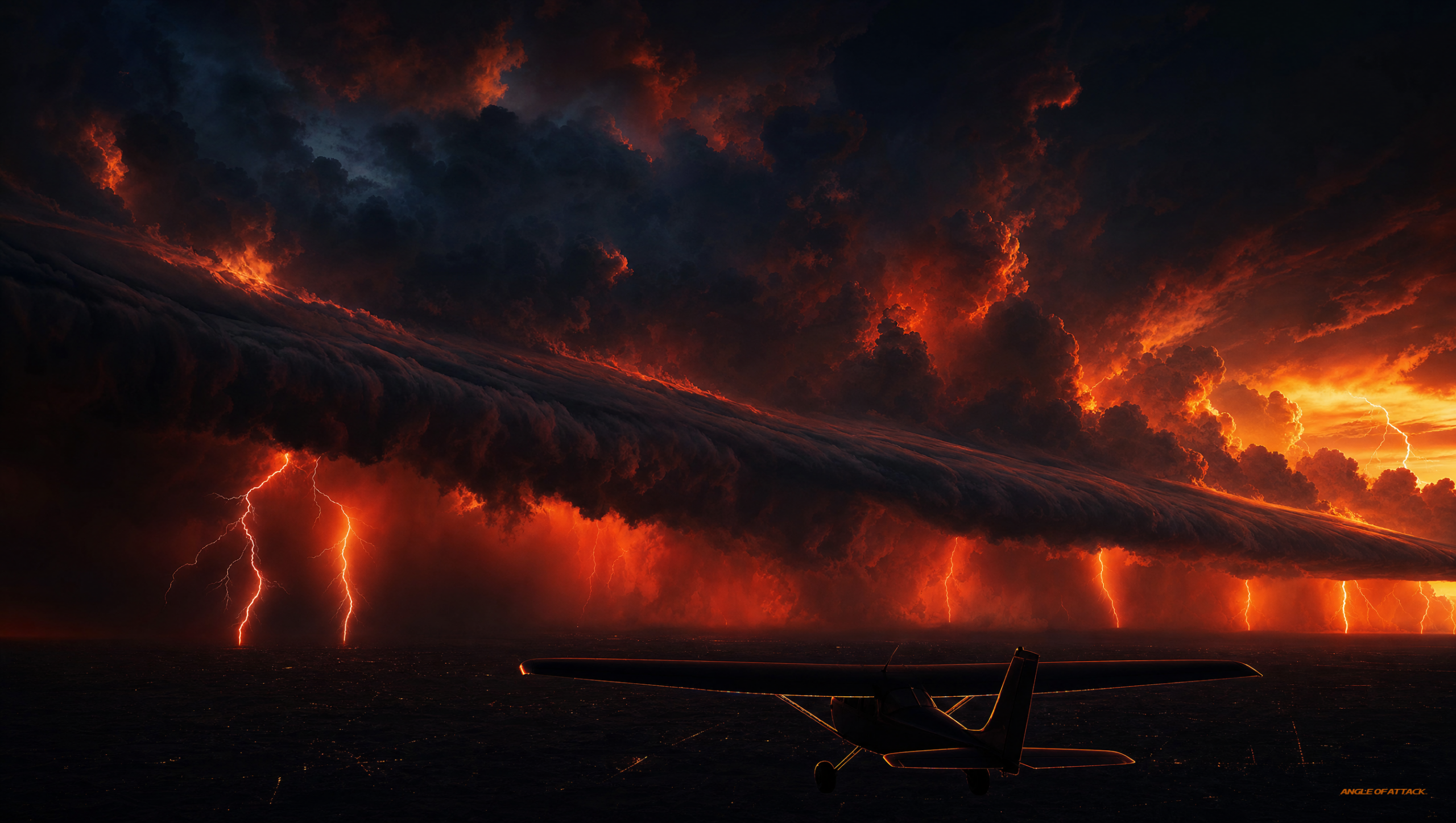
Thunderstorms are grouped by what triggered the lifting action: air mass storms form from local heating and are usually scattered and short-lived; frontal storms form along an advancing front; and squall line storms form into a long, continuous line of severe cells ahead of a cold front. The trigger tells you how the storms are arranged in the sky — and how much room you have to maneuver around them.
Air mass thunderstorms are the classic summer-afternoon storms, driven by surface heating or terrain. They tend to be isolated and scattered, which usually leaves visual room to fly around them in daylight. They’re still dangerous up close, but they don’t typically block off the whole route.
Frontal thunderstorms form along the boundary where two air masses meet, as one shoves the other upward. A cold front, with its steeper lifting, tends to produce a sharper line of stronger storms than a warm front, which lifts air more gradually.
A squall line is the one to fear most for a light airplane. It’s a narrow band of active thunderstorms that can stretch for hundreds of miles, often forming ahead of a fast-moving cold front. The FAA describes the squall line as frequently containing the most severe weather — steady, intense storms with little or no space between cells. There is no threading the needle through a squall line in a Cessna. You go around it, you wait it out, or you don’t go.
Embedded thunderstorms deserve a mention too. These are storms buried inside widespread cloud layers, where you simply cannot see them coming. They’re a hard no for VFR pilots and a serious reason instrument pilots lean on onboard weather radar and datalink before pressing into solid cloud.
A wall over Kachemak Bay — a lesson from the ramp
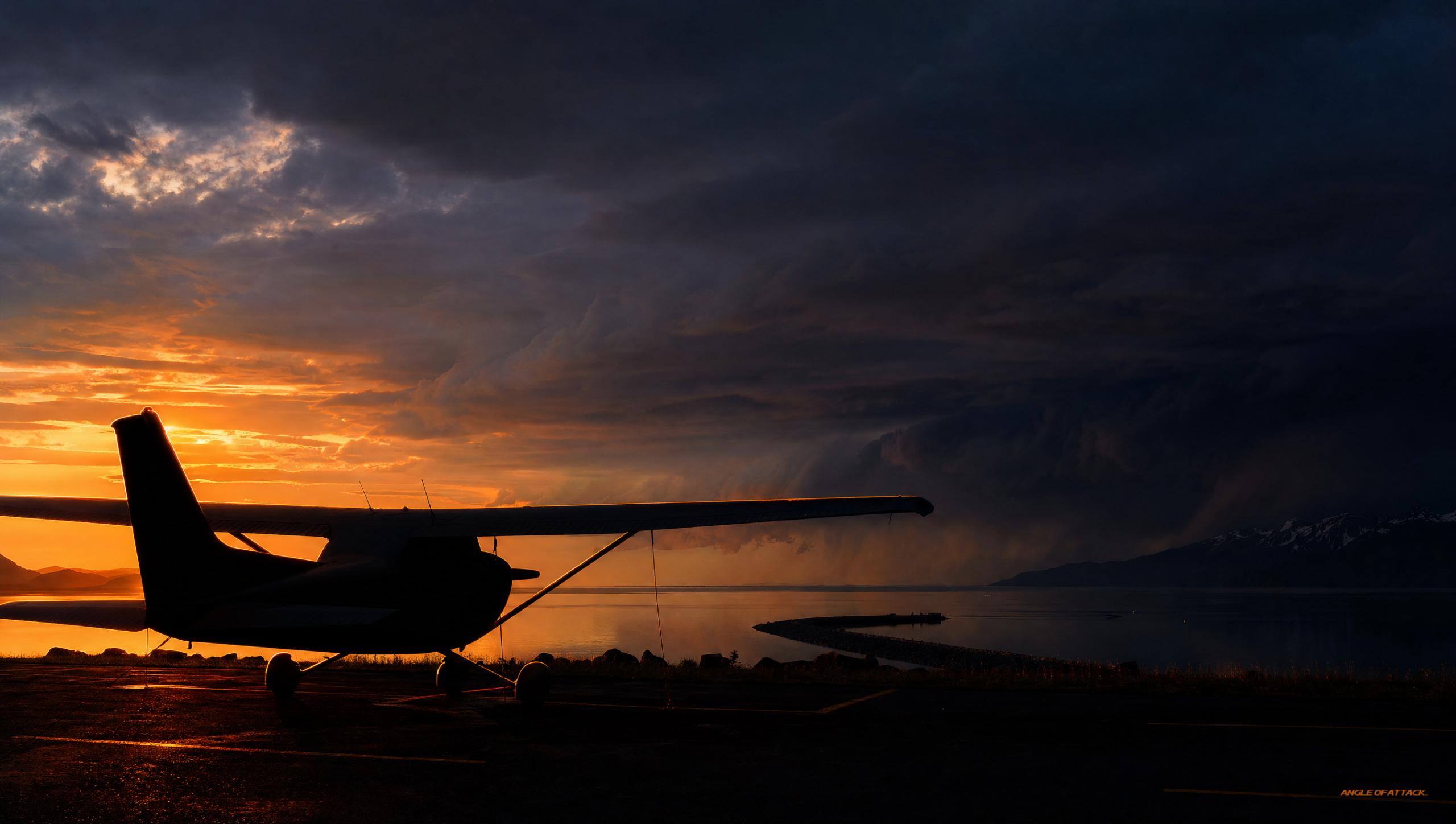
Out of Homer, the weather usually shows up as marine and mechanical — fog, low ceilings, mountain wind. Big convective storms are less of a daily worry here than in the Lower 48, but air doesn’t read the brochure. One summer afternoon I watched the air over Kachemak Bay do exactly what the textbook says it shouldn’t be able to do, and it taught a student a lesson I still use.
We were sitting on the ramp doing a thorough weather brief before a local flight in the 172. Across the bay, over the mountains, a line of cumulus had been building all afternoon in the heat — towers going up fast, with one already throwing an anvil downwind. My student looked at it and said, “It’s way over there. We’ve got hours.” That’s the trap right there, and I let the sky make my point for me.
We pulled the latest reports instead of trusting our eyes. The story was the lifting action working over that terrain, the instability stacking those towers, and a gust front that was going to reach out long before the rain did. We scrubbed the flight, walked over for coffee, and forty minutes later a wall of wind and rain came across the bay and rocked the tied-down airplanes on the ramp — well ahead of where the visible cloud had been.
The lesson my student took, and the one I want you to take: a thunderstorm’s reach is bigger than its shadow. “It’s way over there” is not a weather brief. The air between you and that storm is part of the storm.
How far should you stay away from a thunderstorm?
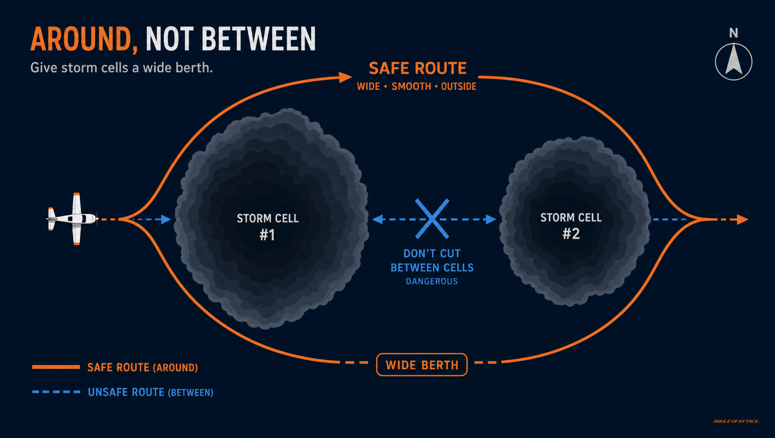 arc around a thunderstorm cell instead of cutting between cells" />
The FAA’s guidance is direct: avoid thunderstorms entirely. The standard taught margin is to give any severe or building storm at least 20 nautical miles of clearance. Do not fly through, under, over, or beneath the anvil of a thunderstorm, and never attempt to fly between two storm cells, because the air in that “gap” can be more violent than the cells themselves. For a student pilot, the answer to “how close is okay?” is “not close at all.”
The Aeronautical Information Manual (AIM 7-1-28, Thunderstorm Flying) spells out the do’s and don’ts, and the theme is the same throughout — distance and patience beat any clever route. It is where the 20-nautical-mile figure comes from: avoid by at least 20 miles any storm identified as severe or giving an intense radar echo. Don’t try to fly under a storm even if you can see through to the other side; the turbulence and wind shear beneath the base can be severe. Don’t trust a gap between cells.
For pilots flying with onboard or datalink weather radar, the standard buffer is wide. Radar shows you precipitation, not turbulence, and the worst air can sit outside the colored returns. The conservative habit — the one that keeps you alive — is to circumnavigate severe storms with miles to spare, not a token margin.
For a VFR student, the rule simplifies beautifully. If there’s an active thunderstorm anywhere near your route, the right call is almost always to delay, divert, or stay on the ground. Learning to make that “we’re not going today” decision without ego is one of the most important things you’ll build in the Private Pilot Ground School — because the sky rewards patience and punishes pride.
PLT Study Guide
Thunderstorm questions show up across the Private Pilot knowledge test under several FAA learning statement codes. Here are the codes that actually match this material, in plain English.
| PLT Code | FAA Learning Statement | What to study |
|---|---|---|
| PLT495 | Recall thunderstorms — types / characteristics / formation / hazards / precipitation static | The three ingredients, the three stages, the hazard list, and the CB cloud. This is the core code for this topic. |
| PLT475 | Recall squall lines — formation / characteristics / resulting weather | What a squall line is, that it forms ahead of a fast cold front, and that it holds the most severe, continuous weather. |
| PLT317 | Recall microburst — characteristics / hazards | A microburst is an intense, localized downdraft that produces severe low-level wind shear, dangerous on takeoff and approach. |
| PLT518 | Recall windshear — characteristics / hazards / power management | Wind shear is a sudden change in wind speed or direction; thunderstorm gust fronts and microbursts are major sources. |
| PLT261 | Recall hail — characteristics / hazards | Hail forms in strong updrafts and can be thrown out the top of a storm, threatening aircraft in clear air near the cloud. |
| PLT501 | Recall turbulence — types / characteristics / reporting / corrective actions | Thunderstorm turbulence can exceed an aircraft’s structural limits; know that the mature stage carries the worst of it. |
Note: the code PLT496 (towrope strength and safety links) sometimes gets attached to weather topics by mistake — it’s a glider-towing code and has nothing to do with thunderstorms. Don’t study it for this subject.
Frequently Asked Questions
Can a small airplane fly through a thunderstorm safely?
No. A thunderstorm contains turbulence and wind shear that can exceed the structural limits of any light aircraft, plus hail, lightning, and severe downdrafts. The FAA guidance is to never fly through, under, or between thunderstorms. For a student pilot, the only safe plan is to stay well clear or stay on the ground.
What are the three stages of a thunderstorm?
The three stages are the cumulus stage, the mature stage, and the dissipating stage. The cumulus stage is all rising air and building cloud. The mature stage begins when rain reaches the ground and has both strong updrafts and downdrafts. The dissipating stage is dominated by sinking air as the storm dies.
What three ingredients are needed for a thunderstorm?
A thunderstorm needs unstable air, a lifting action to start the air rising, and high moisture content to build the cloud. Remove any one of these and a thunderstorm cannot form. The lifting action can be surface heating, a front, terrain, or converging winds.
Why is the mature stage the most dangerous?
The mature stage is the only stage with strong updrafts and downdrafts present at the same time. Where they meet, they create severe, sudden wind shear and turbulence. The mature stage also produces the gust front and microbursts, which can reach the ground and surrounding airspace miles from the visible storm.
How far away from a thunderstorm should I stay?
The standard taught margin is at least 20 nautical miles from any severe or building storm. The reason for so much room is that radar shows rain, not turbulence, and the worst air — hail thrown from the top, the gust front, wind shear — can sit well outside the visible cell. For a VFR student pilot, the practical answer is simpler still: if a thunderstorm is near your route, delay, divert, or don’t fly.
What is a squall line and why is it dangerous?
A squall line is a narrow band of active thunderstorms that can stretch for hundreds of miles, often forming ahead of a fast-moving cold front. It frequently holds the most severe weather, with little or no usable space between cells. A light aircraft cannot safely penetrate a squall line — you go around or you wait.
Does every thunderstorm have lightning?
Yes. Lightning and thunder are part of the definition of a thunderstorm. If a cloud is producing lightning, it is a thunderstorm by definition. This is why “thunderstorm” and “cumulonimbus cloud” are tied together — the CB is the only cloud type that produces them.
Can hail damage my airplane if I’m not flying in the storm?
Yes. Strong updrafts can throw hail out the top and downwind of a thunderstorm, so you can encounter hail in clear air several miles from the visible cloud. This is one reason the FAA recommends giving thunderstorms a very wide berth rather than skirting their edges.
Master every system on your checkride — and on day one.
The Private Pilot Ground School breaks down every FAA subject area in the same plain-English, real-world way you just read — with quizzes, scenarios, and the explanations that finally make it click.
Thunderstorms are the one weather system where there’s no clever trick, no shortcut, and no “I think we can make it.” The pilots who grow old flying are the ones who treat a building cumulonimbus with flat respect — they understand the three ingredients, they watch the three stages, and they give the cloud far more room than feels necessary. Learn to read the sky early, make the no-go call without ego, and the most violent weather in the sky simply becomes the weather you watched from the ground.


ON THE SAME TOPIC

IFR vs VFR: The Two Sets of Rules Every Pilot Flies By
IFR vs VFR: The Two Sets of Rules Every Pilot Flies By 19 min read Last updated June 2026 · Chris Palmer The difference between IFR and VFR is which set of rules you fly under. VFR — visual flight rules — lets you navigate by looking outside and staying clear of clouds in good […]
 Read more
ASOS vs AWOS vs ATIS: How to Pull the Right Weather Before You Fly
ASOS vs AWOS vs ATIS: How to Pull the Right Weather Before You Fly 13 min read Last updated June 2026 · Chris Palmer The difference comes down to who is talking and what the broadcast covers. ASOS and AWOS are automated, computer-generated weather observations of the conditions right at the field. ATIS is a […]
Read more 
What Is RNAV Navigation? Area Navigation for VFR Pilots
What Is RNAV Navigation? Area Navigation for VFR Pilots 17 min read Last updated June 2026 · Chris Palmer RNAV — Area Navigation — is a method that lets an aircraft fly any desired path within the coverage of ground- or space-based navigation aids, rather than being forced to fly directly to and from stations. […]
Read more 
NDB and ADF Explained: The Oldest Radio Nav System You Still Need to Understand
NDB and ADF Explained: The Oldest Radio Nav System You Still Need to Understand 16 min read Last updated June 2026 · Chris Palmer An NDB (non-directional beacon) is a ground-based radio transmitter that sends a signal in all directions, and an ADF (automatic direction finder) is the cockpit receiver whose needle points straight at […]
Read more 
Stay Connected
Be the very first to get notified when we publish new flying videos, free lessons, and special offers on our courses.
